Fire or life threatening emergencies: 000
Emergency Information: 13 3337
SES Emergency Assistance: 132 500
Fire or life threatening emergencies: 000
Emergency Information: 13 3337
SES Emergency Assistance: 132 500
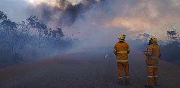
If you own or manage land in Western Australia it is your responsibility to reduce the risk of bushfire impacting it. This applies to all landholders and land occupiers, including private homes, businesses and government.
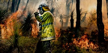
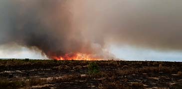
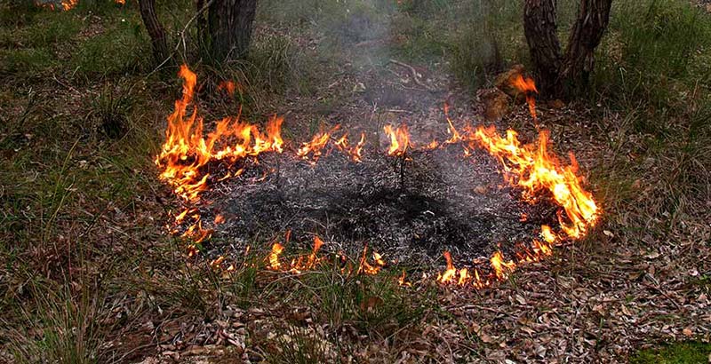
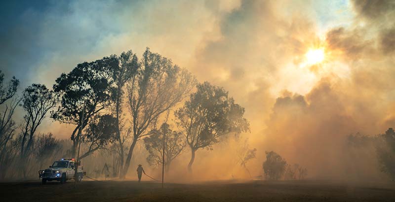
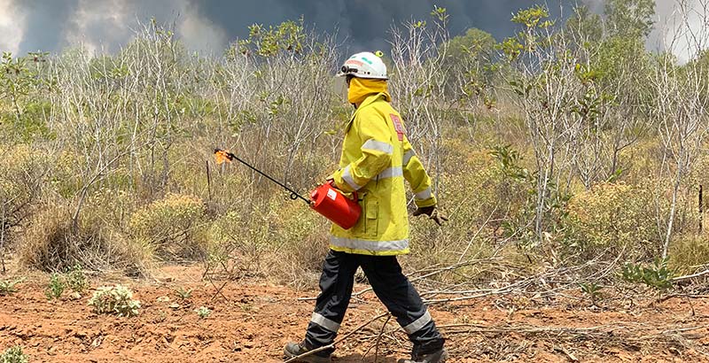
One of the most effective ways you can reduce fuel loads and the risk of bushfire is planned burning.
Tip: You may have heard of hazard or fuel reduction burns, burn offs, prescribed burns and controlled burns. These are all names for planned burns.
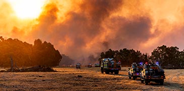
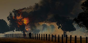
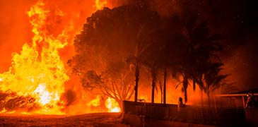
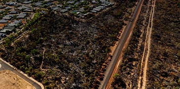
Reducing fuel increases the chances of your property surviving a bushfire. The more fuel available to a bushfire, the hotter the fire can burn and the harder it is to control. Flammable material such as leaf litter, fallen branches, dead grasses and shrubs provide fuel for fire, allowing it to grow more quickly and burn at higher temperatures. This increases the likelihood of damage to your property, neighbouring properties and the environment. In comparison, reduced fuel levels assist not only in reducing how quickly a fire can spread, but it also reduces its spotting distance (how far the fire can jump).
Planned burning is a particularly efficient way to remove fuel over larger areas. When used appropriately, it generally results in less environmental disturbance than other methods. Many native plants and animals can also benefit from periodic fire.
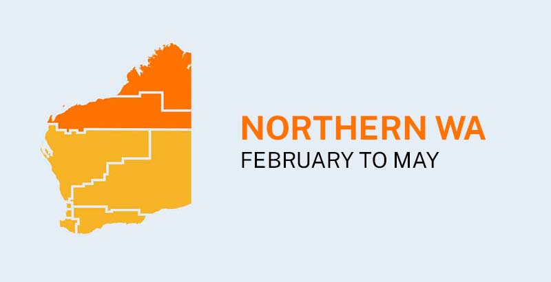
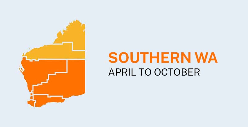
When you burn depends on where you live in Western Australia. Generally, planned burns should be undertaken when:
It is very important to look at the weather forecast for the next several days to ensure that the mild conditions continue after the day of the burn.
In the south of the State, planned burning on private lands is best planned and conducted from April to October. In the north of the State, planned burning takes place in the late wet season to early dry season which is approximately February to May depending on seasonal conditions.
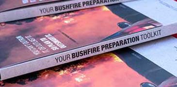
As a landholder or occupier of land it is your responsibility to manage fuel loads in accordance with the regulations and requirements of your local government. Contact your local government or visit their website for fire notice information including burning restrictions and conditions. Legal requirements can be found in the Burn SMART guide which you can download here.
Undertaking a planned burn is a significant responsibility and involves a lot of preparation. In the wrong conditions, planned burns can escape and become a bushfire. The Department of Fire and Emergency Services has developed Burn SMART resources targeted at small landholders with a property of two hectares or less.
The resources primarily support planned burning in areas of forest, woodland or tall shrubland in the Jarrah Forest, Swan Coastal Plain and Warren Biogeographic Regions of Western Australia. The Burn SMART principles can also be applied in other areas of Western Australia.
Be sure to research burn intervals relevant to your local vegetation. Please contact your local government to receive additional local information and advice.
Be considerate of your neighbours when planning and conducting your burn. Consider wind direction to minimise direct impact of smoke and break the burn patch into smaller areas to reduce smoke volume and duration.
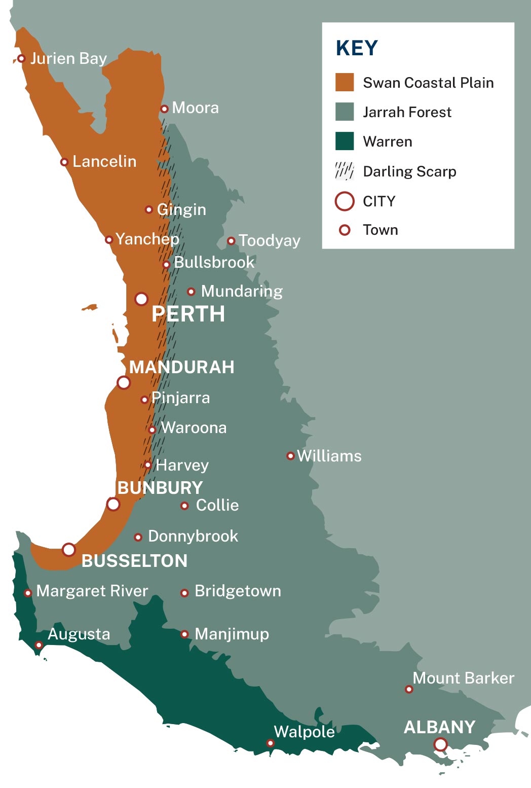
The Burn SMART Guide replaces the DFES Winter Burning Guide. It is designed to assist property owners in planning and implementing planned burns when conditions are suitable to safely reduce bushfire risk. The current edition of the Burn SMART Guide refers to the following regions: Jarrah Forest, Swan Coastal Plain and Warren.
Map of the Biogeographic regions this guide applies to in Western Australia including Jarrah Forest, Swan Coastal Plain and Warren. Source: Thackway, R., & Cresswell, I. D. (1995). An Interim Biogeographic Regionalisation for Australia: a framework for establishing the national system of reserves, Version 4.0. Australian Nature Conservation Agency, Canberra, 88.
To obtain printed copies of the Burn SMART Guide, contact DFES Community Preparedness at CommunityPreparedness@dfes.wa.gov.au. For further enquiries email BushfireCoE@dfes.wa.gov.au.
The new Burn SMART Planned Burning How-To Series includes four videos. Video one is an introduction to planned burning and an overview of the key factors to assess before a burn. The subsequent videos show the key stages of preparing, conducting and monitoring a planned burn. The Burn SMART Planned Burning How-To Series should be used in conjunction with the Burn SMART Guide.
The Burn SMART Planned burning fact sheet explains what planned burning is and why it's important. This is a great reference resource, however the Burn SMART Guide should be followed for detailed information on planned burning.
The Burn SMART Leaf moisture method is a way to measure whether the moisture content of litter is suitable for a planned burn.
The Burn SMART Checklist provides steps to take to plan the burn, before the burn, during the burn and after the burn. The Burn SMART Checklist references the Burn SMART Guide for more information. It is advised they are used together.
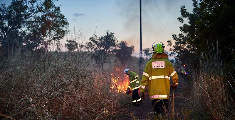
In Western Australia, planned burning involves many organisations as part of a shared responsibility. The Department of Fire and Emergency Services (DFES), the Department of Biodiversity, Conservation and Attractions (DBCA), Water Corporation and local governments conduct planned burning on the land they manage.
Tip: You may have heard of hazard or fuel reduction burns, burn offs, prescribed burns and controlled burns. These are all names for planned burns.